
Beyond Futuristic Cameras
Beyond Futuristic Cameras
Thermal imaging is the ability to visualize objects in a dark environment by detecting the objects' infrared radiation. The infrared radiation creates an image based on that information and enables the viewer to identify or follow the objects.
Objects emit infrared energy based on temperature (heat signature). A thermal imager (camera) is a heat sensor that detects tiny differences in temperature and creates a digital image based on information about the temperature differences. Thermal imaging works in environments without any ambient light and can penetrate obscurants such as smoke, fog and haze.
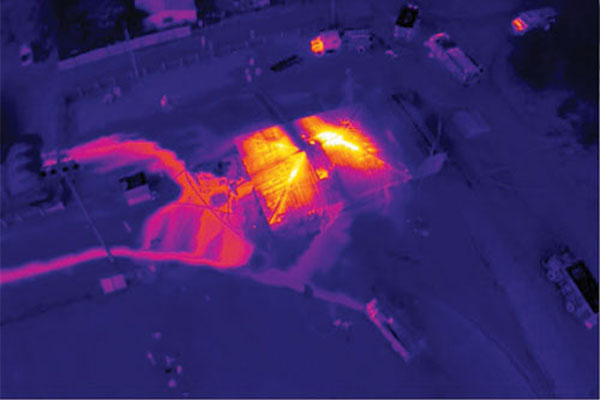
With the development of the UAV industry, we can now mount thermal imaging systems on drones. Drones are a cost effective alternative to conventional aerial platforms, offering lower operational costs, greater flying flexibility, lower risks and the ability to operate from the site of interest, rather than having to travel to it from an airfield.
The possibility to fly much lower than aircrafts and much closer to the subject of interest means we can obtain more detailed imagery. These advantages make UAV based thermal surveys ideal for a wide range of applications, including industrial inspections, power lines monitoring, leak detections, research, rescue operations and more.
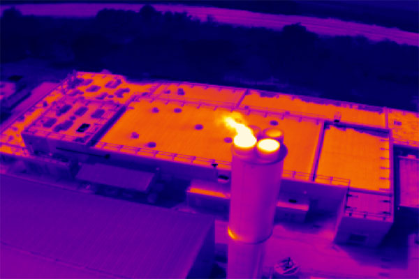
Aerial Thermal Imaging for Industrial Inspection
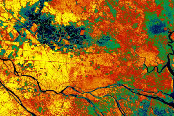
Aerial Thermal Imaging for Precision Agriculture
Aerial Thermal Imaging for Fire Fighting
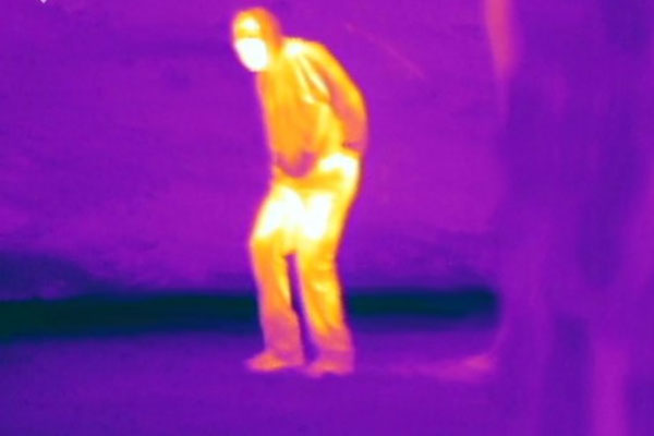
Aerial Thermal Imaging for Search & Rescue